
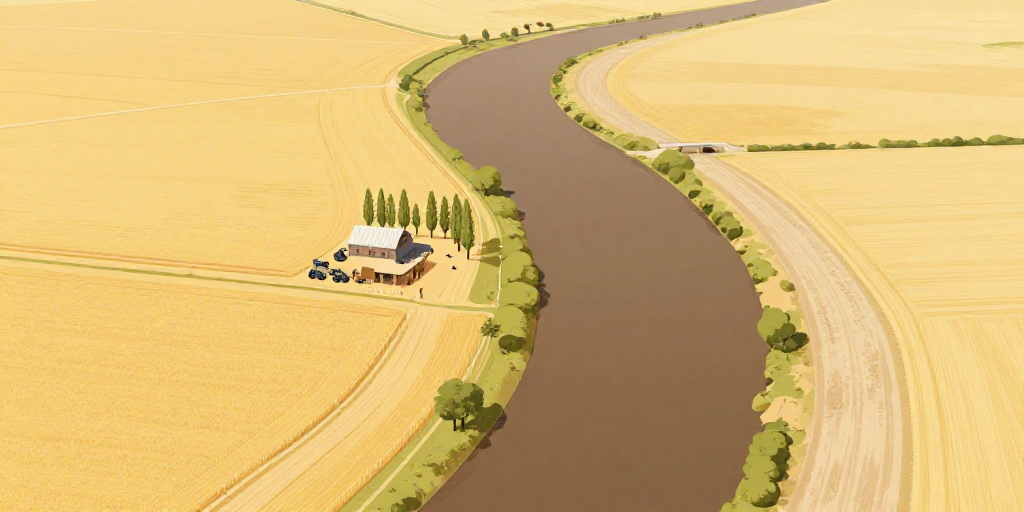
The Border That Went for a Walk
Look at a world map and you will find borders that follow water. On every continent there are countries that are separated by a river rather than by a line drawn on the ground.
Rivers were chosen for good reasons. A river can be seen. It cannot be moved in the night by a farmer who wants a wider field, and it costs nothing to build. When an agreement was signed between two governments two hundred years ago, “the middle of the river” was something both sides could find in the dark. It was cheap, it was clear, and it kept things peaceful.
There is one problem with this. Rivers move.
Most of the time they move slowly. The water takes soil from one bank and drops it on the other, and the rest is carried away toward the ocean. Over a hundred years a river that once ran straight becomes a curve. For this kind of slow change the rule is simple, and it is recognized by most countries: the border moves with the water. If your country loses half a meter of field a year, that is the price of having a river.
Sometimes, though, a river moves in a single night. In a flood the water can cut a new path across a bend and leave its old bed dry. This is what the Vesna did in the spring of 1998. The Vesna is a slow brown river in a farming region where two small countries meet, a region with a population of about forty thousand, most of whom live off the land. In a single night it left the channel it had used since anyone could remember and cut a new one three hundred meters to the west. Eleven farms that had always been on the western side woke up on the eastern one.
For sudden changes the rule is the opposite: the border stays where the old river was. On paper, nothing had happened. On the ground, the border now ran through a wheat field, and the officials who had to mark it stood in the mud with a measuring machine and a bag of posts.
That is no way to live, so the two countries did what countries usually do about a problem nobody caused. A commission was created, with members from both sides. Old maps were compared with new ones. Farmers were given permits to cross to their own land. And in 2011, after twelve years of meetings, the two governments agreed to put the border in the new channel and to swap two pieces of land of similar size and value further down the valley.
One of those pieces of land has a farmhouse on it. The family who live there have worked the same fields for four generations. They have never moved house. Their address changed country once, in 2011, when two governments finally agreed with a river that had made up its mind thirteen years earlier.